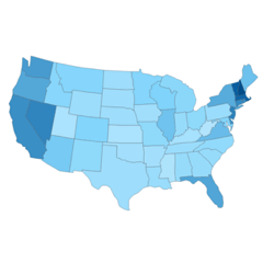
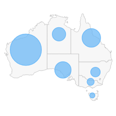
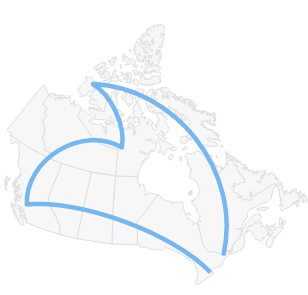
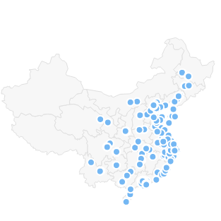
Location
Map charts are widely used for visualization of location-related data.
This approach significantly facilitates the spatial analysis by allowing viewers to quickly understand the breakdown of data by regions, countries, provinces, and so on.
In particular, map-based data visualizations are helpful for purposes of comparison and distribution trend identification.